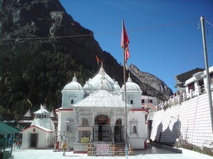
Kedartal, Gangotri - Timings, Trekking, Camping, Best Time to Visit


 India | Uttarakhand | Gangotri
 #10 of 12 Places to Visit in Gangotri
 Distance (From Gangotri): 17 Kms
 Trip Duration (Including Travel): 3 Full Days
 Transportation Options: Walk/Trek
 Travel Tips: None
At a distance of 17 km from Gangotri, Kedartal, also known as Shiva's Lake, is a glacial lake situated in Uttarkashi district of Uttarakhand. It is one of the highest lakes in Uttarakhand, situated at an astounding altitude of 4,912 m. It is also one of the beautiful trekking routes in Uttarakhand.
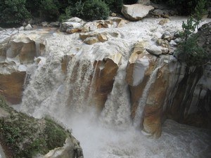
The picturesque Kedartal is situated at the base of the Thalay Sagar and Bhrigupanth Peak. The lake is fed by the water from snow over Thalay Sagar (6,904 m), Meru (6,672 m) and Bhrigupanth (6,772m), and is the source of Kedar Ganga, an important tributary of Bhagirathi River, considered as Lord Shiva's contribution to Bhagirathi River.
Kedartal is a popular trekking destination and the trek commences from Gangotri. The Kedartal trek, being one of the moderate treks in the Garhwal Himalayan region, is recommended for trekkers having prior trekking experience. The route involves a steep rocky climb along the narrow Kedar Ganga gorge en route to Bhoj Kharak, which is 8 km from Gangotri. Kedar Kharak is the next available camping site, which is 4 km from Bhoj Kharak. From here one need to trek 5 km to reach Kedartal. This 17 km trek usually takes 3-4 days to complete. The camping points of the trek are Bhoj Kharak, Kedar Kharak and Kedartal. The route passes through scenic Himalayan forests.
Kedartal is an immaculate lake holding crystal clear water and the view of the reflections of Thalay Sagar peak is truly enchanting. It is surrounded by Thalay Sagar, Bhrigupanth, Jogin 1, Jogin 2 and other Himalayan peaks. Tourists can see a rich variety of high altitude fauna like Bharal, Ghoral, Fox and the Himalayan Black Bear during the trek.
The best time to visit Kedartal is from the month of May to early November.